As it was Heather’s last day to visit, we went on a driving tour of the east side of the island. We went to the end of the road, and then back a bit and over a pass to another village ~ Masefau.
-

- Fautasi ~ Rowed by 49 guys!
-
- They have a big race on Flag Day (April 17, the day AS became a US territory in 1900)
-

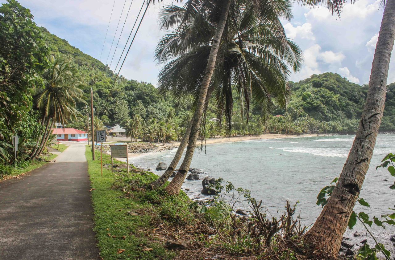
- Shoreline
-
- Beach area
-

- The road follows the coast in most places, except where it is too steep!
-
- $2 Beach (which really costs $5 now)
-

- Looking to the east
-
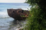
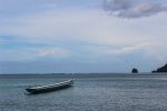
- Wrecked ship on the reef
-

- Traditional fale or guest house. Zoom in to see the detail, many are very elaborately decorated.
-
- Island of Aunu’u off the shore
-

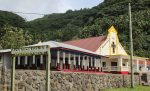
- Every village has at least one church, many have more.
-
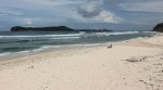
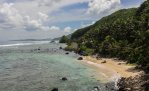
- The beach at Alao, with Aunu’u in the distance.
-

- Looking east down the beach at Alao.
-

- NOAA science station at the top of a hill above the village of Tula. They collect air samples to compare polllution rates. The cleanest air in the world!
-

- Looking down into Tula.
-

- Bananas grow on plantations and in yards everywhere.
-

- The end of the road to the east, which really turns north to the last village.
-
- The last village is Onenoa.
-
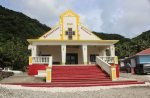
- Onenoa’s church
-
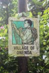
- Village sign
-

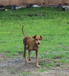
- Village dog
-

- Who was not very socialized.
-
- Tsunami signs are all over the island. The last devastating tsunami was in 2009.
-

- Another lovely bay.
-

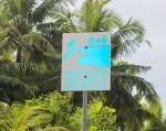
- These signs mark the meeting place for each village.
-
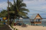
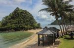
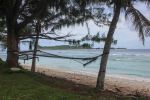
- A group of fales on the beach that can be rented.
-

- Storm clouds move in as we head back home.
-

- These empty rusted Oxygen tanks are used to call the village to church or for sa. Sa is a 10 minute time before sunset when you are to reflect or pray. No village activity is allowed during this time.
-
- A happy but skinny dog.
-

- The village of Masefau. It is on the northern side of the island, and entail a pass over the moutains to get to it.
-

- A typical bus stop. Aiga (pronounced I-inga) buses are owned privately and the village is displayed on the bus. There is no public transportation per se.
